

Monitoring Earth's Most Fragile Ecosystems,
in Real Time
Combining machine learning, satellite data, and predictive modeling to protect the ecosystems most at risk.
150+
Ecosystems monitored
20+
Active conservation programs
10+
Research papers published last year

Our Mission
Driving the Next Era of Ecological Intelligence
We are building the future of environmental stewardship through AI-driven research, real-time monitoring, and global collaboration.

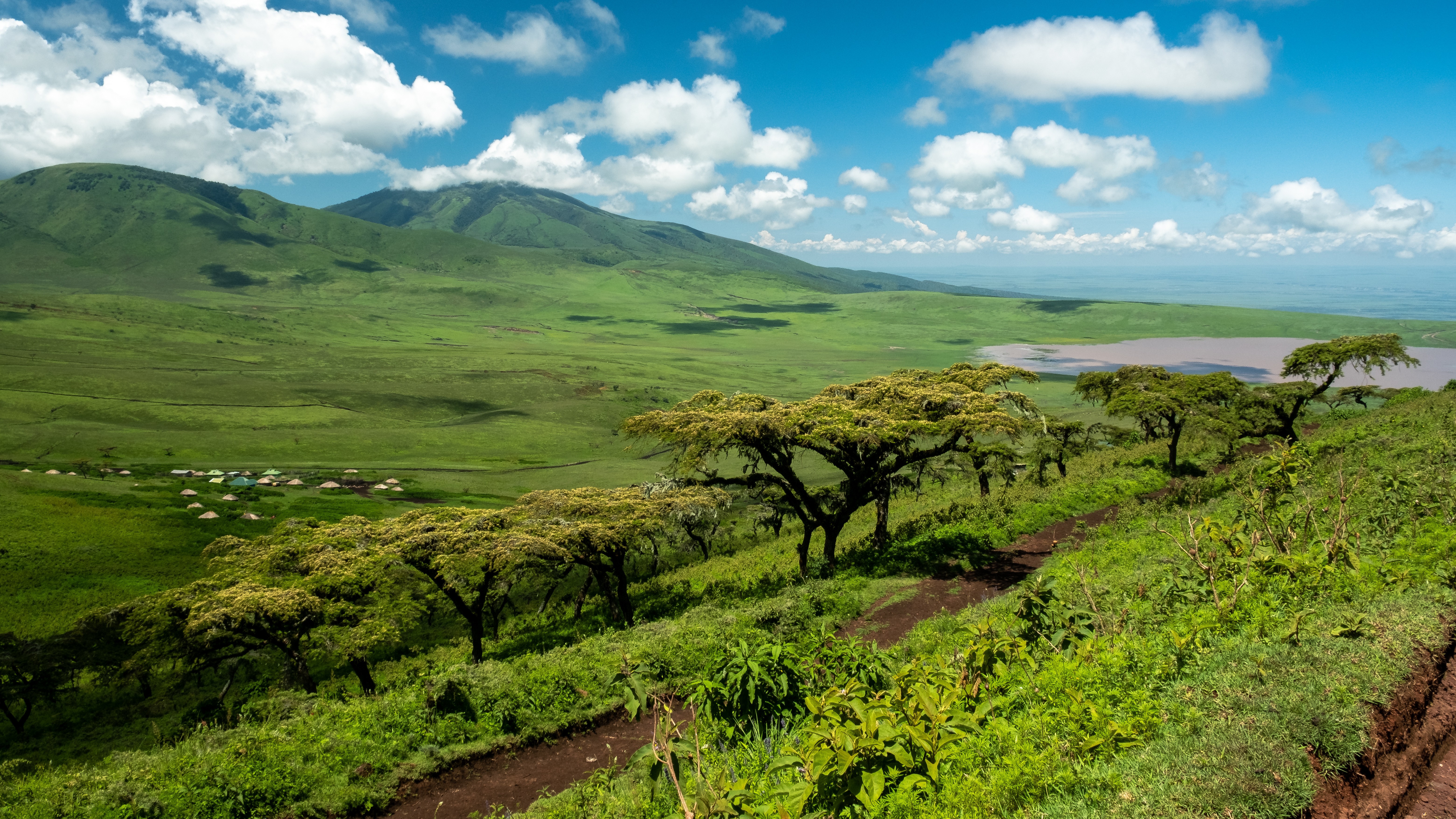

Research & Publications
Dive into our latest research, from satellite-based habitat monitoring to AI-driven predictive ecology. Our work is driven by curiosity, precision, and a commitment to protecting the natural world.

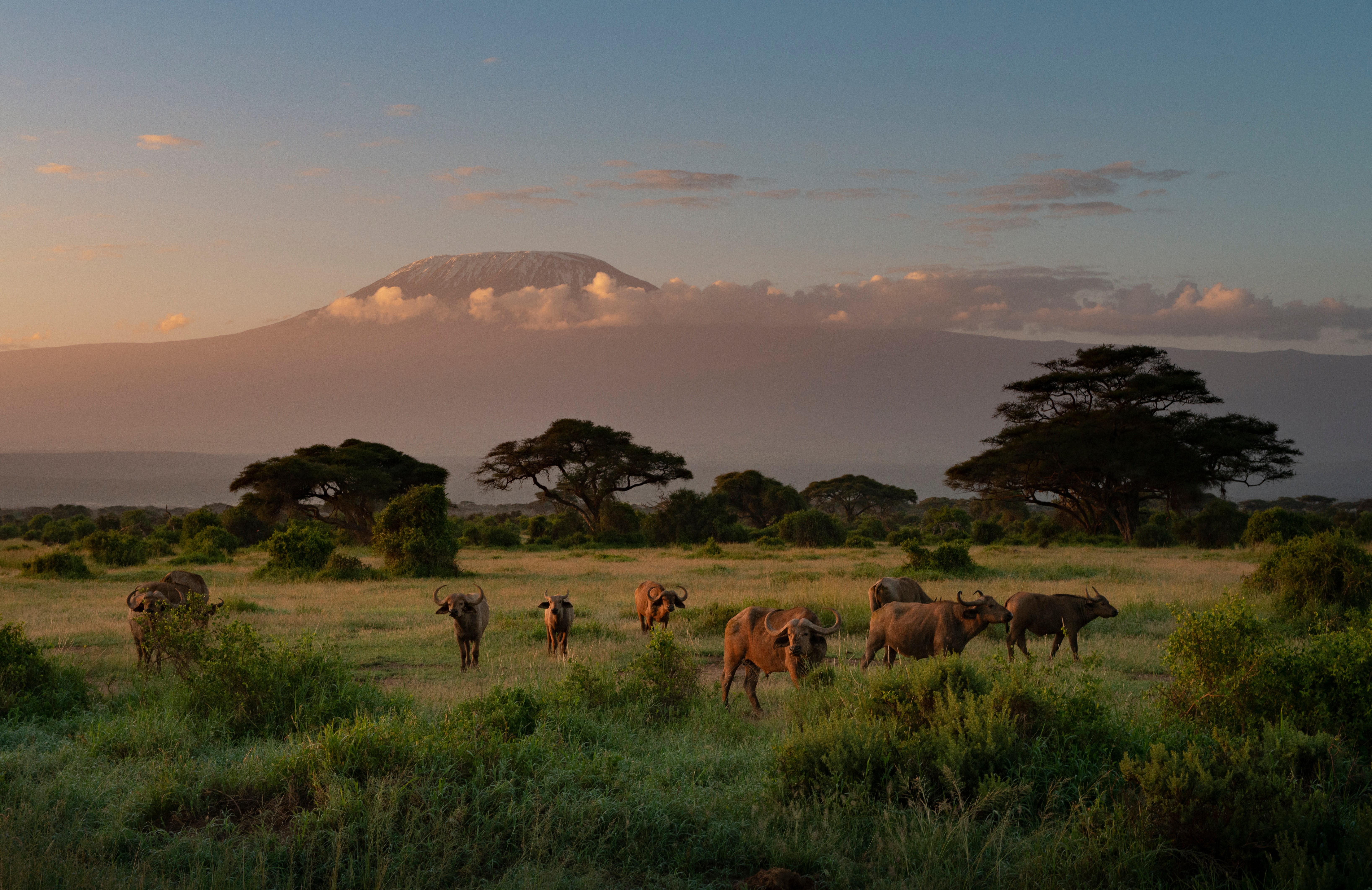

Labs & Technology
Engineering the Future of Ecological Intelligence
Intelligent Monitoring Systems
Our detection pipeline runs a multispectral vision transformer trained on eight years of labeled satellite tiles across eleven biome types. The model outputs per pixel confidence scores for canopy stress, water turbidity, and thermal anomalies, then a temporal consistency layer filters out one off noise like cloud shadow before anything reaches a researcher's queue.
Predictive Ecological Modeling
We pair a gradient boosted ensemble with a recurrent neural network trained on twelve years of migration telemetry, rainfall records, and vegetation indices. The recurrent layer captures seasonal dependencies across years, while the ensemble handles sparse, irregular sensor readings, together producing a range of likely outcomes rather than a single fixed forecast.
Sensor & Satellite Networks
Each ground station runs a lightweight sensor fusion model that reconciles readings from soil probes, acoustic units, and weather instruments before transmission, correcting for known drift in humidity and temperature sensors over their deployment lifespan. Satellite passes are cross referenced against this ground truth to continuously recalibrate our remote sensing models in the field.
Ecosystem Simulation Labs
Our simulation environment models individual organisms and resource flows as interacting agents rather than fixed statistical averages, letting researchers test how a specific drought or logging scenario might ripple through a food web over several seasons. Each run is validated against historical data from comparable sites before its output is trusted for planning.
Sustainable Field Technologies
Field units run a quantized version of our detection models directly on device, compressed to fit a low power processor with no persistent network connection required. A sensor can flag an acoustic anomaly or a sudden temperature swing locally and transmit only the relevant reading, extending battery life well beyond what streaming raw data continuously would allow.
Conservation Field Operations
Field teams carry a lightweight app that runs our species and habitat recognition models offline, distilled from the same training data as our satellite systems down to a size that fits comfortably on a phone. Photos and notes captured in the field sync automatically once a connection is available, feeding directly back into the models that generated the original alert.
Our labs combine computer vision, time series forecasting, and sensor fusion into a single pipeline, engineered to turn raw environmental signals into decisions a researcher can act on within hours instead of months.
Our Team



The Nexus Mesa Family
Meet the researchers, engineers, and ecologists driving Nexus Mesa's mission to protect the planet's most vulnerable ecosystems.


Protecting Tomorrow, Today.
Redefining Conservation Through Intelligence
Combining machine learning, satellite data, and predictive modeling to protect the ecosystems most at risk.